
St. Tammany Parish
Mold Removal in Covington, the Highest Ground With the Worst Severe Record
Send what you can see and we will tell you which of the three jobs this is, if it is any of them. Covington's interior point reads 22.24 feet above sea level, the highest place we cover, and a fifth of its 330 repeat-loss properties are classed severe repetitive loss, because on this ground the water that reaches a house comes down a drainageway rather than in off a lake.
Request a quote in Covington
Tell us what you can see or smell, roughly where in the house it is, and whether the house is raised or on a slab. Those three things narrow it more than the size of the patch does, because they point at how the water is arriving rather than where it ended up.
Would you rather talk it through? Call (315) 640-3590.
$100 off your first job
Credited by us on your first booked job.
- One credit per customer per property, on your first booked job.
- Valid through December 31, 2026.
Mention this offer when you book. Full terms.
What Covington's severe repetitive loss share tells an assessor
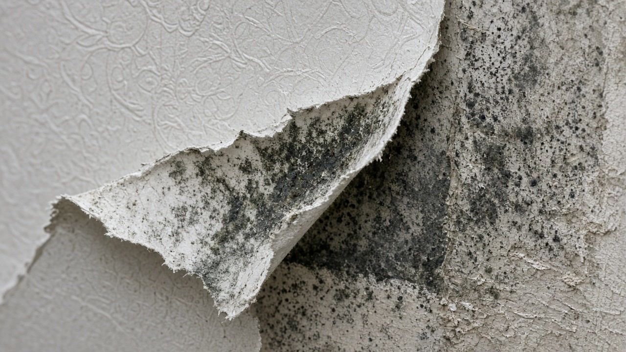
Covington records 330 National Flood Insurance Program multiple loss properties, of which 67 are severe repetitive loss, a fifth of the total and the highest severe proportion of any place in this service area. Only 22 have been mitigated.
Source: Federal Emergency Management Agency, OpenFEMA dataset NFIP Multiple Loss Properties, data as of August 2, 2026, accessed 2026-09-22
Covington's Census Bureau interior point stands 22.24 feet above sea level under the USGS national elevation dataset, the highest of the sixteen places in this service area and about twenty-eight feet above Kenner's.
Source: United States Geological Survey, The National Map, 3D Elevation Program Point Query Service, 1/3 arc-second elevation, accessed 2026-09-22
The USDA official series description for Guyton, mapped along the flood plains and stream terraces of St. Tammany Parish, describes a poorly drained silt loam, very poorly drained where ponded, with slow permeability and a seasonal high water table from the surface to 1.5 feet deep from December through May, and rare, occasional or frequent flooding.
Source: United States Department of Agriculture, Natural Resources Conservation Service, Official Series Description, accessed 2026-09-22
The USDA official series description for Savannah, widely mapped in St. Tammany Parish, is a moderately well drained fine-loamy soil with a fragipan, a dense layer of moderately slow permeability, above which a water table is perched at a depth of 1.5 to 3.0 feet below the surface during the wet seasons from January to March.
Source: United States Department of Agriculture, Natural Resources Conservation Service, Official Series Description, accessed 2026-09-22
The USGS reports that of the 22.8 million gallons a day withdrawn in St. Tammany Parish in 2005, almost 100 percent, 22.7 million gallons a day, came from groundwater, drawn from the Chicot, Evangeline and Jasper equivalent aquifer systems, with rural domestic withdrawals alone accounting for 6.44 million gallons a day.
Source: United States Geological Survey, Fact Sheet 2009-3064, Water Resources of St. Tammany Parish, Louisiana, accessed 2026-09-22
The city of Covington, community 220200, holds Community Rating System Class 8, a 10 percent discount in the special flood hazard area and 5 percent outside it, the shallowest discount of any rated community in this service area. Its flood insurance rate map dates from November 19, 1980.
Source: Federal Emergency Management Agency, National Flood Insurance Program Community Status Book, accessed 2026-09-22
St. Tammany Parish, community 225205, holds Community Rating System Class 7, a 15 percent discount in the special flood hazard area and 5 percent outside it, and its current effective flood insurance rate map dates from April 21, 1999, the oldest current map in this service area. The three cities inside it hold their own separate classes.
Source: Federal Emergency Management Agency, National Flood Insurance Program Community Status Book, accessed 2026-09-22
Covington has 4,640 housing units with a median year built of 1991, the newest in this service area, yet 354 of them, 7.6 percent, were built in 1939 or earlier, the fourth highest pre-war share here. 944 units, 20.3 percent of the whole stock, were built between 2010 and 2019.
Source: United States Census Bureau, American Community Survey 2020-2024 five year estimates, accessed 2026-09-22
How far is the house from the drainageway?
On Covington ground that matters more than the elevation does. Tell us what is behind the lot and whether the yard holds water after rain.
Covington's Class 8, the parish's Class 7, and which one is yours
Covington is an incorporated city with its own permit desk, and it holds Community Rating System Class 8, a 10 percent discount inside the special flood hazard area and the shallowest of any rated community in this service area, on a map dated November 19, 1980. St. Tammany Parish itself holds Class 7, so an address just outside the city limit is rated better than one inside it, which catches people out. Covington is also the highest ground we cover at 22.24 feet above sea level, and it carries the worst severe repetitive loss proportion here: 67 of its 330 repeat-loss properties, a fifth of them. Height is not the variable. The Guyton soils mapped along the parish's flood plains and stream terraces are poorly drained silt loams, very poorly drained where they pond, with a seasonal high water table from the surface to a foot and a half down from December through March, and the Savannah soils nearby hold a perched table 1.5 to 3 feet down over a fragipan in the same months. So the question in Covington is which drainageway your lot feeds and whether the yard holds water after rain, not how far above the lake you sit. One more thing to tell us: whether the house is on a well or on a water system. Nearly all of the parish's water comes out of the ground, and it changes how a slow supply leak gets noticed.
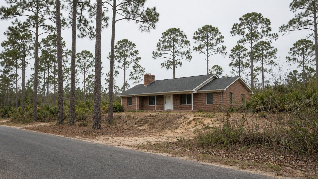

What we arrange in and around the city of Covington
Mold Assessment and Moisture Survey
Find out where the water is arriving, whether the wall is leaking or condensing, and whether there is a mold job here at all, in writing, from a company that is not the one selling you the removal.
Mold Assessment in Covington →Mold Removal and Remediation
Get the affected material out under containment, take the cause out with it, and have the work priced against a written scope that the removal firm did not write.
Mold Removal in Covington →Water Damage Drying and Flood Cleanup
Water out and the structure dried to a measured reading inside the 24 to 48 hour window that decides whether the material stays or comes out.
Water Damage Drying in Covington →Tell us what the Covington lot does after heavy rain
Send it in writing. A person reads it, and we will tell you which of the three jobs this is, if any of them.