
Mold Assessment in Covington Where Water Perches Above the Fragipan
A survey that checks whether the winter water sitting in Covington's soil is reaching the house, or whether the damp is the summer air instead.
Mold Assessment quote in Covington
Tell us what you can see or smell, roughly where in the house it is, and whether the house is raised or on a slab. Those three things narrow it more than the size of the patch does, because they point at how the water is arriving rather than where it ended up.
Would you rather talk it through? Call (315) 640-3590.
$100 off your first job
Credited by us on your first booked job.
- One credit per customer per property, on your first booked job.
- Valid through December 31, 2026.
Mention this offer when you book. Full terms.
Covington's fragipan, drainageways and housing ages
Covington's Census Bureau interior point stands 22.24 feet above sea level under the USGS national elevation dataset, the highest of the sixteen places in this service area and about twenty-eight feet above Kenner's.
Source: United States Geological Survey, The National Map, 3D Elevation Program Point Query Service, 1/3 arc-second elevation, accessed 2026-09-22
The USDA official series description for Savannah, widely mapped in St. Tammany Parish, is a moderately well drained fine-loamy soil with a fragipan, a dense layer of moderately slow permeability, above which a water table is perched at a depth of 1.5 to 3.0 feet below the surface during the wet seasons from January to March.
Source: United States Department of Agriculture, Natural Resources Conservation Service, Official Series Description, accessed 2026-09-22
The USDA official series description for Guyton, mapped along the flood plains and stream terraces of St. Tammany Parish, describes a poorly drained silt loam, very poorly drained where ponded, with slow permeability and a seasonal high water table from the surface to 1.5 feet deep from December through May, and rare, occasional or frequent flooding.
Source: United States Department of Agriculture, Natural Resources Conservation Service, Official Series Description, accessed 2026-09-22
Covington has 4,640 housing units with a median year built of 1991, the newest in this service area, yet 354 of them, 7.6 percent, were built in 1939 or earlier, the fourth highest pre-war share here. 944 units, 20.3 percent of the whole stock, were built between 2010 and 2019.
Source: United States Census Bureau, American Community Survey 2020-2024 five year estimates, accessed 2026-09-22
Why Covington high ground still holds water
Covington sits higher than anywhere else we cover, 22.24 feet above sea level, and its ground still holds water close to the surface for part of the year. Savannah, widely mapped in St. Tammany Parish, has a fragipan, a dense layer that water sits on, with a water table perched 1.5 to 3 feet down from January to March. Along the drainageways, Guyton soils carry a seasonal high water table from the surface to 1.5 feet deep from December through May. A Covington survey therefore asks two questions of a damp wall: is winter ground water reaching the foundation, or is summer air condensing on a cooled interior surface, and it measures both.

What to note about a Covington lot before the survey
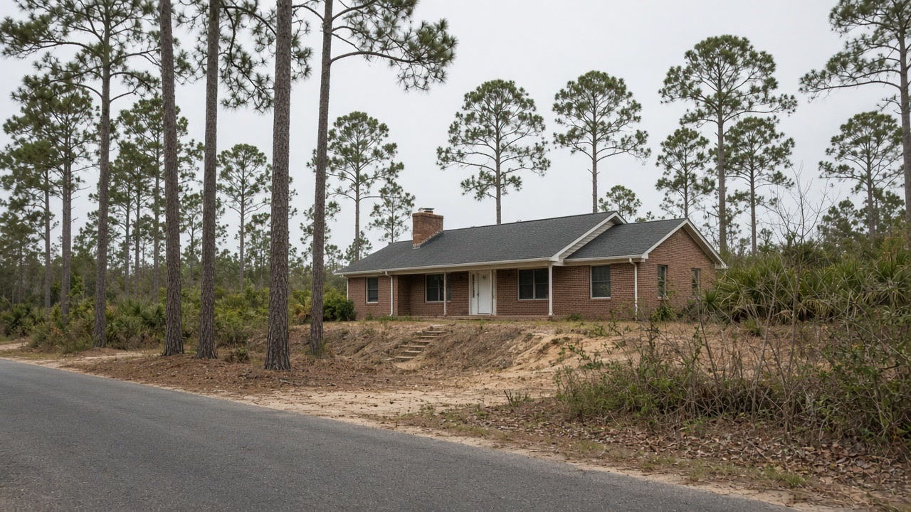
Note how close the lot is to a drainageway or low ground, and whether the yard holds water between December and May. Tell the surveyor whether the house is one of the 354 built before 1940 or one of the 944 built in the 2010s, because an old raised house and a new slab one fail in different places. If water has come in before, the report should document it; Covington has 330 repeat-loss properties despite its height. Inside the city the flood rating is Class 8; the parish outside it is Class 7.
How near the lot is to a drainageway
Guyton soils along drainageways hold water near the surface from December through May. Proximity changes the whole diagnosis.
Pre-war or 2010s
354 Covington homes predate 1940 and 944 went up in the 2010s. The age tells the surveyor where to look first.
Whether it has flooded before
Covington's height has not kept 330 properties from flooding more than once. A history belongs in the report.
Does the yard hold water between December and May?
Tell us where it stands and how close the lot is to a drainageway. On Covington soils that is half the survey.
Covington removal and drying after the survey
Covington survey questions about ground water
Covington is high ground. Why would we have water under the house?
Because height does not stop water sitting in the soil. Savannah soils here carry a perched water table 1.5 to 3 feet down from January to March above a dense fragipan, and Guyton soils along drainageways can be wet from the surface down to 1.5 feet from December through May. Water standing that close to a foundation is something a survey measures at the slab edge or under the floor.
Is testing for mold part of a Covington survey?
Only where a number would change the decision, which is not often. The EPA says sampling is usually unnecessary where growth is visible, and the CDC does not recommend testing. The Covington survey spends its time on the ground, the foundation line and the walls instead.
Send the Covington house and what the ground does
The build year and where water sits after rain. A person reads it and says what the survey would cover.