
Jefferson Parish
Mold Removal in Kenner, the Lowest Ground We Cover
Tell us what you can see and smell and we will say whether this needs an assessment, a removal, drying, or nobody at all. Kenner's interior point reads 5.72 feet below sea level, the lowest of the sixteen places we cover, and the USDA soil series named for this town records a water table that sits where the pumps hold it rather than where nature would put it.
Request a quote in Kenner
Tell us what you can see or smell, roughly where in the house it is, and whether the house is raised or on a slab. Those three things narrow it more than the size of the patch does, because they point at how the water is arriving rather than where it ended up.
Would you rather talk it through? Call (315) 640-3590.
$100 off your first job
Credited by us on your first booked job.
- One credit per customer per property, on your first booked job.
- Valid through December 31, 2026.
Mention this offer when you book. Full terms.
What Kenner's pumped water table tells an assessor
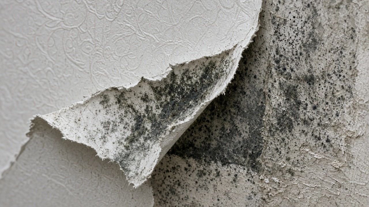
The USDA soil series named for Kenner, established in Jefferson Parish in 1972, is an organic muck of the freshwater marshes of the lower Mississippi delta at elevations approximately two feet above mean sea level and lower. Its description records a water table ranging from one foot above the surface to half a foot below it unless protected and pumped, and notes that in protected and pumped areas the water table is typically maintained at a depth of one to four feet below the surface.
Source: United States Department of Agriculture, Natural Resources Conservation Service, Official Series Description, accessed 2026-09-22
Kenner's Census Bureau interior point stands 5.72 feet below sea level under the USGS national elevation dataset, the lowest of the sixteen places in this service area.
Source: United States Geological Survey, The National Map, 3D Elevation Program Point Query Service, 1/3 arc-second elevation, accessed 2026-09-22
The same study measured the maximum urban rates of elevation loss, between 30 and 47 millimeters a year, in the area around Louis Armstrong International Airport, and rates from 2 to more than 20 millimeters a year in areas including Kenner and Harvey.
Source: Fiaschi, Allison and Jones, Vertical land motion in Greater New Orleans, Science Advances, via PubMed Central, accessed 2026-09-22
Kenner has 27,908 housing units with a median year built of 1978, the second newest housing stock on the south shore. Only 296 units, 1.1 percent, predate 1940, the lowest pre-war share of any place in this service area apart from Belle Chasse. 9,493 units were built in the 1970s alone.
Source: United States Census Bureau, American Community Survey 2020-2024 five year estimates, accessed 2026-09-22
The city of Kenner, community 225201, holds Community Rating System Class 6, a 20 percent discount in the special flood hazard area and 10 percent outside it. Its first flood insurance rate map took effect on June 25, 1971.
Source: Federal Emergency Management Agency, National Flood Insurance Program Community Status Book, accessed 2026-09-22
Kenner records 1,013 National Flood Insurance Program multiple loss properties, of which 104 are severe repetitive loss, 332 have four or more paid losses and 735 predate the city's first flood insurance rate map of June 25, 1971.
Source: Federal Emergency Management Agency, OpenFEMA dataset NFIP Multiple Loss Properties, data as of August 2, 2026, accessed 2026-09-22
Jefferson Parish has the highest paid and unpaid National Flood Insurance Program claim count of any parish in this service area at 135,482 claims on record. The dataset covers claims from the start of the program and is redacted to protect individual policyholders.
Source: Federal Emergency Management Agency, OpenFEMA dataset FIMA NFIP Redacted Claims, data as of June 1, 2026, accessed 2026-09-22
Has a door stopped closing, or a crack opened?
In Kenner those belong to the ground rather than to the house, and they are often what opened the joint feeding the damp. Tell us what has moved and when.
Kenner issues its own permits, and its flood map starts in 1971
Kenner is an incorporated city, issues its own permits and carries its own Community Rating System Class 6 rather than the parish rating, worth 20 percent inside the special flood hazard area. Its first flood insurance rate map took effect on June 25, 1971, and 735 of the city's 1,013 repeat-loss properties were built before it, which is worth knowing before you assume an older Kenner house was ever built to an elevation rule. The ground is the unusual part. The USDA named a soil series after this town, an organic muck of the delta marshes, and its description records a water table anywhere from a foot above the surface to half a foot below it unless the area is protected and pumped, and one to four feet down where it is. Nothing under a house here is at its natural level. The satellite study that mapped this metro recorded its maximum urban rates of elevation loss around the airport and rates from 2 to more than 20 millimeters a year in areas including Kenner, so a new crack, a door that has stopped latching or a hairline across a slab is worth telling us about even when it looks cosmetic. Ground movement does not grow mold. It opens the joint that then feeds it.
Areas within Kenner: Rivertown, Chateau Estates, Susan Park
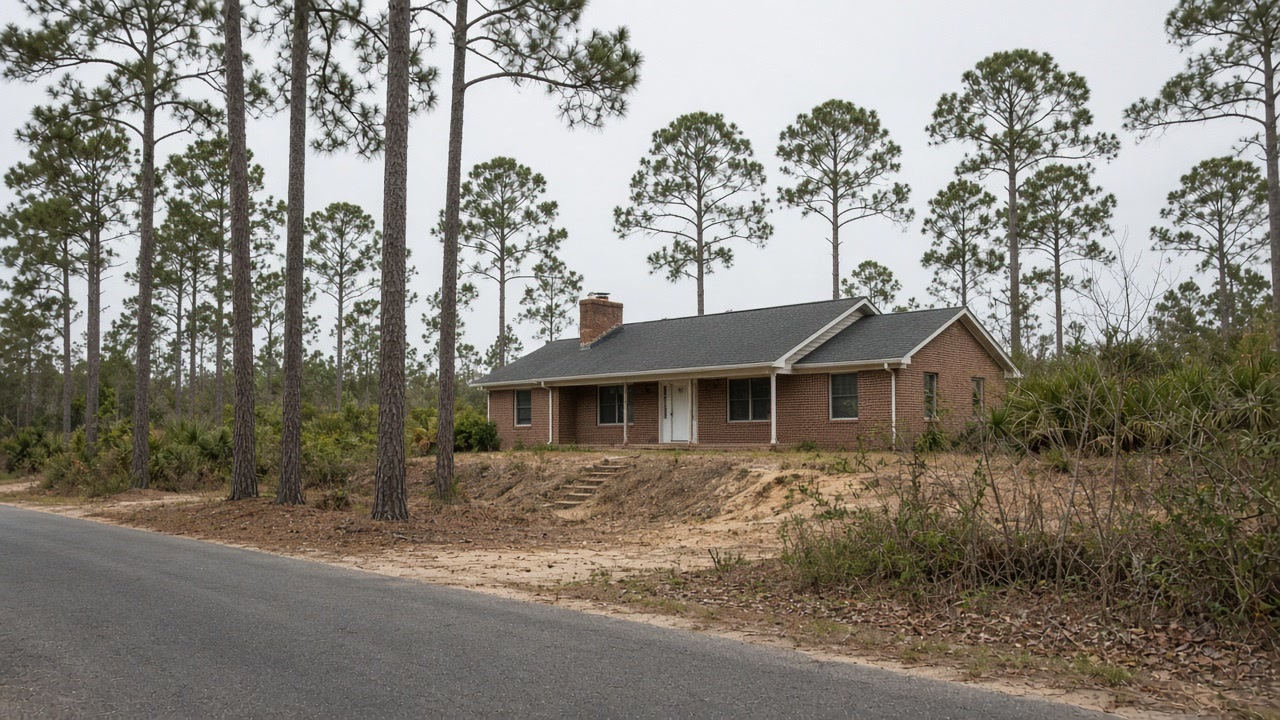

Rivertown to Susan Park: what we arrange in Kenner
Mold Assessment and Moisture Survey
Find out where the water is arriving, whether the wall is leaking or condensing, and whether there is a mold job here at all, in writing, from a company that is not the one selling you the removal.
Mold Assessment in Kenner →Mold Removal and Remediation
Get the affected material out under containment, take the cause out with it, and have the work priced against a written scope that the removal firm did not write.
Mold Removal in Kenner →Water Damage Drying and Flood Cleanup
Water out and the structure dried to a measured reading inside the 24 to 48 hour window that decides whether the material stays or comes out.
Water Damage Drying in Kenner →Tell us what the Kenner ground has done to your house
Send the photos and the story. A person reads it and writes back, and nobody is put in front of you before that.