
Jefferson Parish
Mold Removal in Metairie, a Slab Suburb Built in Two Decades
Send the address and where the mark sits on the wall, and we will tell you whether the water is arriving through the slab, out of the air, or not at all. Almost half of Metairie's 66,355 homes went up in the 1960s and 1970s on slab with the plumbing cast into the concrete, which is why a stain at the bottom of a wall here often starts a foot away from the break that caused it.
Request a quote in Metairie
Tell us what you can see or smell, roughly where in the house it is, and whether the house is raised or on a slab. Those three things narrow it more than the size of the patch does, because they point at how the water is arriving rather than where it ended up.
Would you rather talk it through? Call (315) 640-3590.
$100 off your first job
Credited by us on your first booked job.
- One credit per customer per property, on your first booked job.
- Valid through December 31, 2026.
Mention this offer when you book. Full terms.
Metairie has no city hall, so Jefferson Parish holds the permit
Metairie has no city hall. The Census Bureau records it as a Census designated place, so the building permit, the floodplain determination and the substantial improvement question all come from Jefferson Parish, and the parish rating is the one that applies: Community Rating System Class 3, a 35 percent discount inside the special flood hazard area and the deepest of any community in this service area. What that history put on the ground is a slab suburb. 16,528 homes went up in the 1960s and another 16,077 in the 1970s, and only 2.5 percent of the stock predates 1940. A slab hides its plumbing, so the most useful thing you can send us is not a close-up of the mold but the line the mark makes along the bottom of the wall, how high it reaches, and whether the flooring nearby has lifted. The water table under this ground sits 12 to 36 inches down and the USDA description says plainly that it is held there by a system of levees and pumps, which is to say it is a setting rather than a fact of nature. That is why a slab here can move enough to open a joint without anything dramatic happening above it.
Areas within Metairie: Old Metairie, Bucktown, Fat City
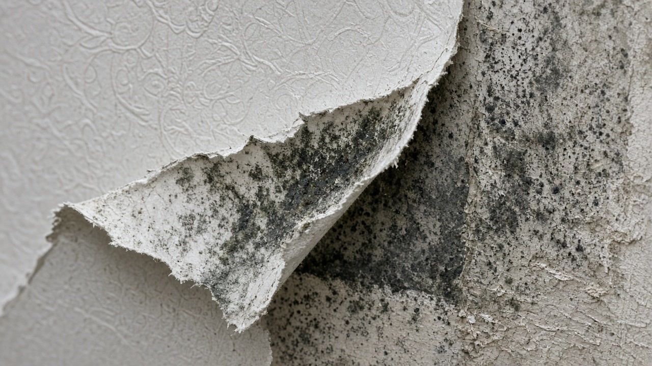
Is the mark at the bottom of the wall?
On a Metairie slab that usually means water coming up through the concrete rather than down the wall, and it rarely starts where it shows. Tell us how high it goes.
Old Metairie to Bucktown: what we arrange
Mold Assessment and Moisture Survey
Find out where the water is arriving, whether the wall is leaking or condensing, and whether there is a mold job here at all, in writing, from a company that is not the one selling you the removal.
Mold Assessment in Metairie →Mold Removal and Remediation
Get the affected material out under containment, take the cause out with it, and have the work priced against a written scope that the removal firm did not write.
Mold Removal in Metairie →Water Damage Drying and Flood Cleanup
Water out and the structure dried to a measured reading inside the 24 to 48 hour window that decides whether the material stays or comes out.
Water Damage Drying in Metairie →What a 1972 Metairie slab tells an assessor
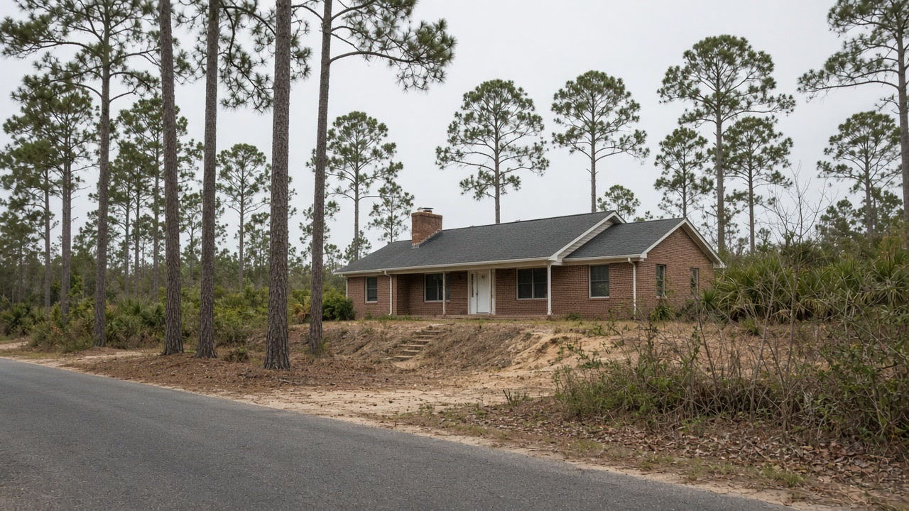
Metairie has 66,355 housing units with a median year built of 1972. Two decades account for almost half the entire stock: 16,528 units were built between 1960 and 1969 and 16,077 between 1970 and 1979. Only 1,654 units, 2.5 percent, predate 1940, and 61.2 percent of the stock is single family detached.
Source: United States Census Bureau, American Community Survey 2020-2024 five year estimates, accessed 2026-09-22
This metro carries both foundation types on the same streets. Raised pier and beam construction with an open or vented space underneath dominates the pre-war stock and much of what has been rebuilt since, because federal rule 44 CFR 60.3(c)(2) requires the lowest floor to sit at or above the base flood level. Slab on grade dominates the post-war suburbs, where the American Community Survey puts the median year built at 1972 in Metairie, 1976 in Terrytown and 1978 in Kenner and Chalmette.
Source: Office of the Federal Register, Electronic Code of Federal Regulations, Title 44 Section 60.3, accessed 2026-09-22
Metairie's Census Bureau interior point stands 4.79 feet below sea level under the USGS national elevation dataset.
Source: United States Geological Survey, The National Map, 3D Elevation Program Point Query Service, 1/3 arc-second elevation, accessed 2026-09-22
The USDA official series description for Harahan, mapped through the developed parts of Jefferson and Orleans parishes, describes a poorly drained clay in artificially drained backswamp positions, used mainly for urban land, with elevations about sea level to one or two feet below sea level, very slow permeability, and a water table 12 to 36 inches below the surface most of the year that is controlled by a system of levees and pumps.
Source: United States Department of Agriculture, Natural Resources Conservation Service, Official Series Description, accessed 2026-09-22
Five of the sixteen places in this service area are Census designated places with no municipal government of their own. The Census Bureau's 2024 gazetteer records Metairie, Harvey, Marrero, River Ridge and Terrytown as CDPs, along with Chalmette, Arabi, Belle Chasse and Laplace. New Orleans, Kenner, Gretna, Westwego, Slidell, Mandeville and Covington are incorporated cities.
Source: United States Census Bureau, 2024 Gazetteer Files, Places, Louisiana, accessed 2026-09-22
Unincorporated Jefferson Parish, National Flood Insurance Program community 225199, holds Community Rating System Class 3, which carries a 35 percent flood insurance premium discount in the special flood hazard area and 10 percent outside it. That is the deepest discount of any community in this service area. Metairie, Harvey, Marrero, River Ridge and Terrytown are unincorporated and fall under this community, not under any city of their own.
Source: Federal Emergency Management Agency, National Flood Insurance Program Community Status Book, accessed 2026-09-22
Metairie records 2,334 National Flood Insurance Program multiple loss properties, of which 179 are severe repetitive loss, 642 have four or more paid losses, 1,756 predate the community's first flood insurance rate map, and 294 have been mitigated.
Source: Federal Emergency Management Agency, OpenFEMA dataset NFIP Multiple Loss Properties, data as of August 2, 2026, accessed 2026-09-22
Jefferson Parish has the highest paid and unpaid National Flood Insurance Program claim count of any parish in this service area at 135,482 claims on record. The dataset covers claims from the start of the program and is redacted to protect individual policyholders.
Source: Federal Emergency Management Agency, OpenFEMA dataset FIMA NFIP Redacted Claims, data as of June 1, 2026, accessed 2026-09-22
Describe the room and we will name the next step
Every Metairie request is read by a person, who comes back with questions before anyone prices a thing.