
Jefferson Parish
Mold Removal in River Ridge, on the Levee Beside the Mississippi
Tell us what you are seeing and we will say whether it is a leak, a cold surface the air conditioning is making, or nothing that needs removing. River Ridge sits 3.49 feet above sea level on the natural levee silt loam, where the USDA records a saturated layer perched 1.5 to 4 feet down from December through April and held under pressure by the river standing higher than the land beside it.
Request a quote in River Ridge
Tell us what you can see or smell, roughly where in the house it is, and whether the house is raised or on a slab. Those three things narrow it more than the size of the patch does, because they point at how the water is arriving rather than where it ended up.
Would you rather talk it through? Call (315) 640-3590.
$100 off your first job
Credited by us on your first booked job.
- One credit per customer per property, on your first booked job.
- Valid through December 31, 2026.
Mention this offer when you book. Full terms.
What the river's hydraulic head means for a River Ridge wall
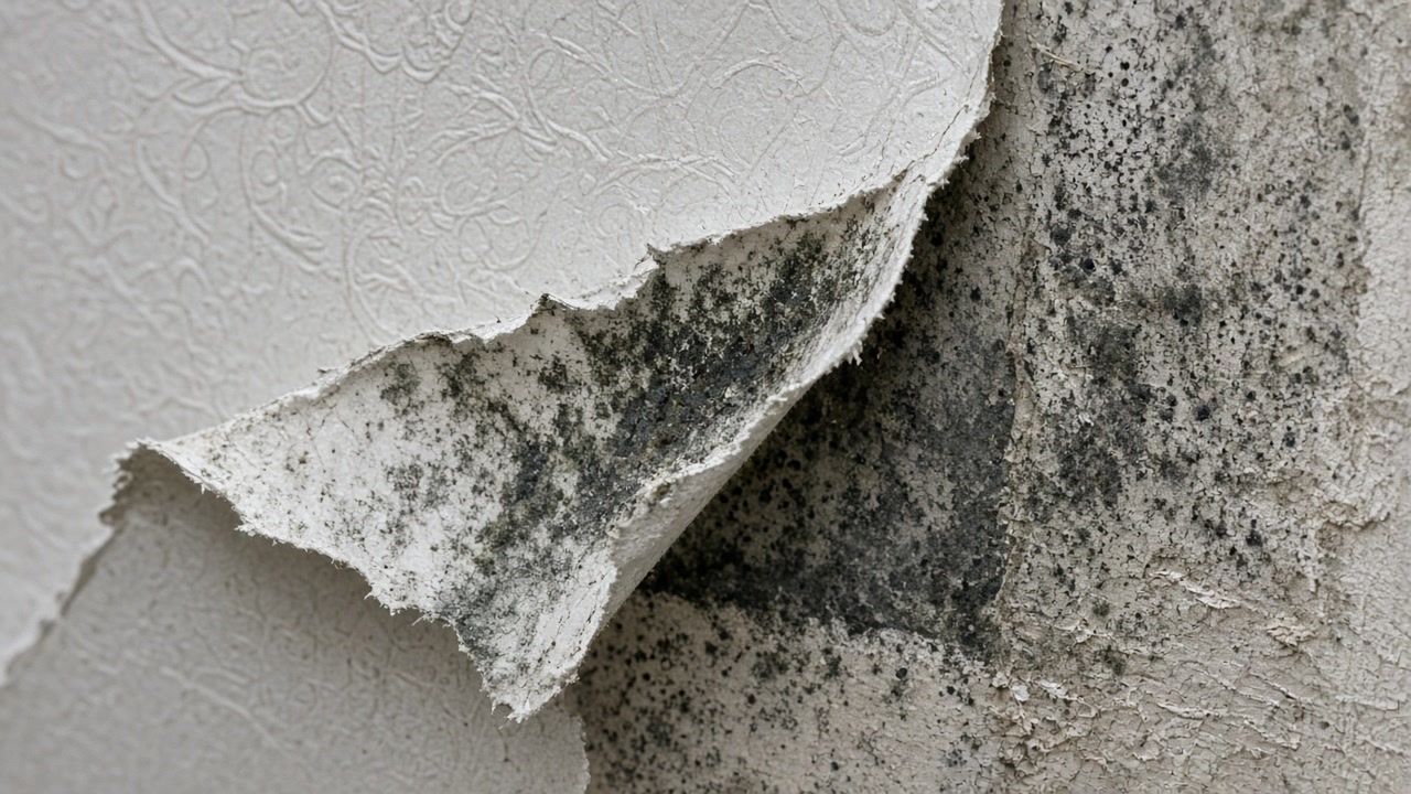
The USDA official series description for Cancienne, the natural levee silt loam of the lower Mississippi and its distributaries, describes a somewhat poorly drained soil with a saturated zone perched above clayey lenses at 1.5 to 4 feet below the surface from December through April, and notes that along the larger leveed waterways the water between those clayey layers in the lower part of the solum may be under pressure because of the hydraulic head maintained by the higher water level in the river.
Source: United States Department of Agriculture, Natural Resources Conservation Service, Official Series Description, accessed 2026-09-22
River Ridge's Census Bureau interior point stands 3.49 feet above sea level under the USGS national elevation dataset, on the natural levee close to the Mississippi.
Source: United States Geological Survey, The National Map, 3D Elevation Program Point Query Service, 1/3 arc-second elevation, accessed 2026-09-22
River Ridge records 314 National Flood Insurance Program multiple loss properties, of which 155 have four or more paid losses and 138, 44 percent, sit outside the mapped high risk flood zone.
Source: Federal Emergency Management Agency, OpenFEMA dataset NFIP Multiple Loss Properties, data as of August 2, 2026, accessed 2026-09-22
River Ridge has 6,325 housing units with a median year built of 1971 and 70.7 percent of the stock predates 1980. 74.8 percent is single family detached, only 29.4 percent of occupied homes are rented, the second lowest renter share in this service area, and 219 units are mobile homes.
Source: United States Census Bureau, American Community Survey 2020-2024 five year estimates, accessed 2026-09-22
Five of the sixteen places in this service area are Census designated places with no municipal government of their own. The Census Bureau's 2024 gazetteer records Metairie, Harvey, Marrero, River Ridge and Terrytown as CDPs, along with Chalmette, Arabi, Belle Chasse and Laplace. New Orleans, Kenner, Gretna, Westwego, Slidell, Mandeville and Covington are incorporated cities.
Source: United States Census Bureau, 2024 Gazetteer Files, Places, Louisiana, accessed 2026-09-22
Unincorporated Jefferson Parish, National Flood Insurance Program community 225199, holds Community Rating System Class 3, which carries a 35 percent flood insurance premium discount in the special flood hazard area and 10 percent outside it. That is the deepest discount of any community in this service area. Metairie, Harvey, Marrero, River Ridge and Terrytown are unincorporated and fall under this community, not under any city of their own.
Source: Federal Emergency Management Agency, National Flood Insurance Program Community Status Book, accessed 2026-09-22
Jefferson Parish has the highest paid and unpaid National Flood Insurance Program claim count of any parish in this service area at 135,482 claims on record. The dataset covers claims from the start of the program and is redacted to protect individual policyholders.
Source: Federal Emergency Management Agency, OpenFEMA dataset FIMA NFIP Redacted Claims, data as of June 1, 2026, accessed 2026-09-22
Damp at floor level between December and April?
On River Ridge levee soils that timing is a real clue, because the perched layer rises in exactly those months. Tell us when it appears and when it goes.
River Ridge is a Census place, so Jefferson Parish holds the file
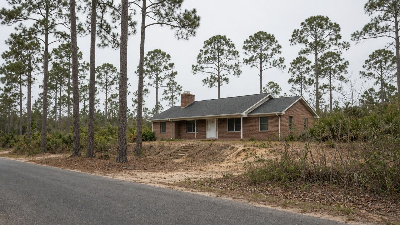
River Ridge has no municipal government, so Jefferson Parish is the permitting and floodplain authority and the parish Class 3 rating applies. It sits on the natural levee, 3.49 feet above sea level and close to the Mississippi, on Cancienne silt loam, and the USDA description of that soil is worth reading carefully if you have damp at floor level in winter. It records a saturated zone perched above clayey lenses 1.5 to 4 feet below the surface from December through April, and notes that along the larger leveed waterways the water between those clay layers can be under pressure because the river is held higher than the ground. That is a seasonal, pressure-driven wetting rather than a leak, and it behaves differently from one: it arrives on a calendar instead of after an event, and it does not stop when a pipe is replaced. Worth knowing before anyone bills you for chasing plumbing. Only 29.4 percent of occupied homes here are rented, the second lowest share we cover, so most of these decisions are the owner's to make, and 219 of the homes are manufactured units, which sit on a different assembly again. Tell us which kind you have.
What we arrange for River Ridge addresses
Mold Assessment and Moisture Survey
Find out where the water is arriving, whether the wall is leaking or condensing, and whether there is a mold job here at all, in writing, from a company that is not the one selling you the removal.
Mold Assessment in River Ridge →Mold Removal and Remediation
Get the affected material out under containment, take the cause out with it, and have the work priced against a written scope that the removal firm did not write.
Mold Removal in River Ridge →Water Damage Drying and Flood Cleanup
Water out and the structure dried to a measured reading inside the 24 to 48 hour window that decides whether the material stays or comes out.
Water Damage Drying in River Ridge →Tell us what the River Ridge floor does in winter
Send the detail, a person reads it, and you get a written answer back rather than a call from a dialer.